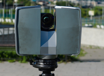
Remote sensing technologies (aerial, terrestrial; multispectral/ hyperspectral, thermal) provide extremely accurate measurements for many purposes. From assessing the conditions of current assets (roads, buildings, transportation system; any element of the built environment) to recreating through satellite records the contours of cities, neighborhoods and infrastructure gone by, remote sensing expertise adds new insight and efficiency to any engineering process.
Our Services
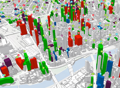
GIS for Infrastructure
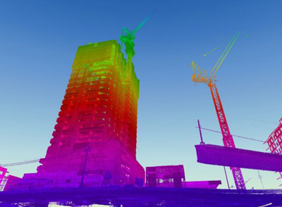
Building Modeling
(LiDAR to BIM)
Utility Asset Assessments
As-Built Infrastructure Models for Risk Assessment
Capabilities
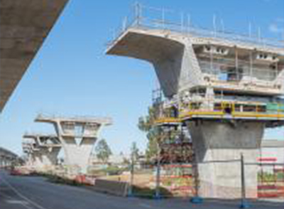
- Bridge/road/ transportation asset condition assessments
- Digital models for industrial efficiency and/or engineering improvements
- Real estate/ property condition assessments
- Quantification of disaster debris
- Historical recreation of urban environments
- Utility system assessments: electric, gas, water, waste